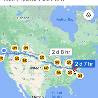
Bruceport, WA To The Northwest Corner Of Washington On July 23
- Lucian@going2paris.net

- Jul 25, 2021
- 4 min read

Port Angeles, Washington
July 24, 2021
Here’s my report from yesterday. I wrote it at two separate times:
Late Morning
Just drove through Aberdeen and Hoquim (the friendliest city). Industrial cities although it looks like much of the industry is gone. Tired, forgotten are words that come to mind. I think I would have difficulty there in the rainy season — seems as though it would be depressing.
Not driving to the coast today. I’ve gotten too much sun. It’s a cloudy morning. Plus looks like I would have to double back as I did yesterday.
The drive so far today has been rural.
Cosmopolis has the Cosmo fiber factory that seems to be the economic anchor for the town.
WWIM - Wonder What I Miss. I try each day to get a feel for where I am. For the most part all I see are the physical aspects. I know I have missed things. I can’t see everything.
Evening
Today I drove US 101 and then Stste Route 113 to the northwest corner of Washington. I almost made it to the farthest western point in the Lower 48 but the road was closed approximately 11 miles from my goal. Something about Covid on the Native American area.
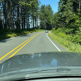
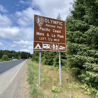
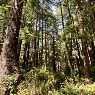
Rural and sparsely populated describe the part of Washington along US 101. There was more activity when I drove into Olympic National Park with people going to the beach. I thought my timing of arriving at ONP was pretty good as tge Olympics opened tonight — is that right? Been awhile since I have driven a road with so little on it. Not many towns or anything. I noted that most of US 101 had no shoulder which I find a bit concerning. It makes the two lanes look that much narrower.
Which reminds me of a thought I had while driving today. I try to be observant while I am driving so that I can note my observations when I write that day’s blog post. I do a reasonable job I think of remembering my observations — but there are those that I forget I forgot. Akin to unknown unknowns. This blog is not meant to be a narrative of each mile I drive. I write about what I remember; hopefully the photos contribute to my narrative, too. I guess I am trying to say that I do the best I can and that’s all I can do. I’m not going to resort to note taking. For me that would distract from the freedom I feel.
My photos:
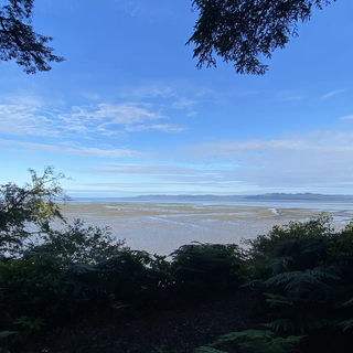
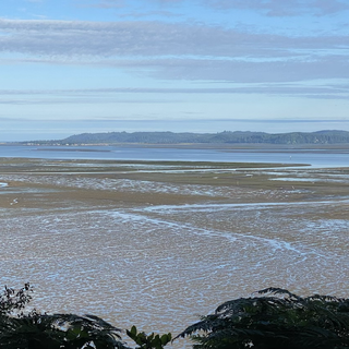
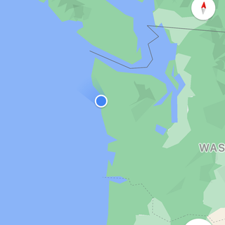
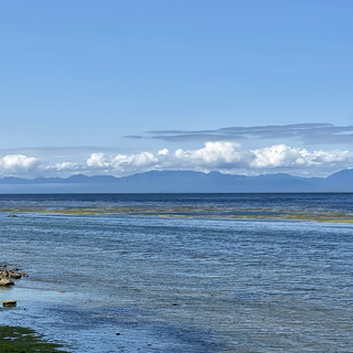
Remarkable effect in Williams Bay of low tide.


Driving through Aberdeen/Hoquiam.

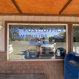
Humptullips.
Humptulips is a census-designated place(CDP) in Grays Harbor County, Washington, United States, extending around the village of Humptulips for which it is named. The population of the CDP was 255 at the 2010 census.
GeographyEdit
Humptulips is located at 47°13′54″N123°58′5″W (47.231645, -123.967977).[3]
According to the United States Census Bureau, the CDP has a total area of 9.5 square miles (24.5 km2), all of it land.
Humptulips is located on the Humptulips Riverand is within the Hoquiam School Districtboundary.
ClimateEdit
Humptulips is in a temperate rain forest. The climate in this area has mild differences between highs and lows, and there is adequate rainfall year-round. According to the Köppen Climate Classification system, Humptulips has a marine west coast climate, abbreviated "Cfb" on climate maps.[4]
Demographics
As of the census of 2000, there were 216 people, 81 households, and 60 families residing in the CDP. The population densitywas 22.8 people per square mile (8.8/km2). There were 93 housing units at an average density of 9.8/sq mi (3.8/km2). The racial makeup of the CDP was 79.17% White, 3.24% Native American, 0.93% Asian, 11.57% from other races, and 5.09% from two or more races. Hispanic or Latino of any race were 13.89% of the population.
There were 81 households, out of which 39.5% had children under the age of 18 living with them, 55.6% were married couples living together, 11.1% had a female householder with no husband present, and 24.7% were non-families. 16.0% of all households were made up of individuals, and 1.2% had someone living alone who was 65 years of age or older. The average household size was 2.67 and the average family size was 2.87.
In the CDP, the population was spread out, with 27.8% under the age of 18, 6.5% from 18 to 24, 29.2% from 25 to 44, 30.1% from 45 to 64, and 6.5% who were 65 years of age or older. The median age was 37 years. For every 100 females, there were 109.7 males. For every 100 females age 18 and over, there were 105.3 males.
The median income for a household in the CDP was $26,000, and the median income for a family was $22,188. Males had a median income of $38,125 versus $17,500 for females. The per capita income for the CDP was $10,210. About 26.9% of families and 32.7% of the population were below the poverty line, including 40.6% of those under the age of eighteen and 23.5% of those 65 or over.
References in fiction
Humptulips is mentioned in Another Roadside Attraction by Tom Robbins as a base of operations for an order of assassin monks. A book mentioned in the Discworld novels by Terry Pratchett was written by a wizard named Humptulip (no terminal "s"). At a conference in October 2011, Pratchett referenced Humptulips as his favorite place on planet Earth. It is also featured in an alternate reality in the 2012 novel The Long Earth by Pratchett and Stephen Baxter, and as an objective site during the pivotal Battle of Tukayyid in the metaplot of the Battletech tabletop strategy game.
Name origins
The name Humptulips was the name of a band of the Chehalis tribe who lived in the area. The name comes from a local Native American language, meaning 'hard to pole', referring to the difficulty local Native Americans had poling their canoes along the Humptulips River.[5]According to other sources the word means 'chilly region'.[6] It has frequently been noted on lists of unusual place names.[7]


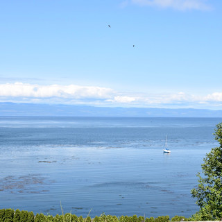
Lake Quinault


La Push


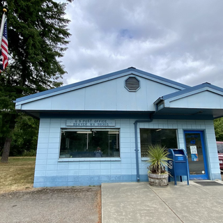
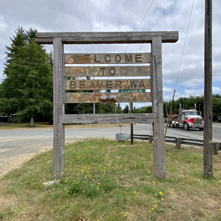
Beaver.


Sekiu


Route 112 toward Neah Bay


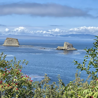


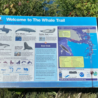


The trail I could not get to.

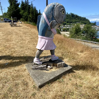
Fun.

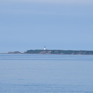
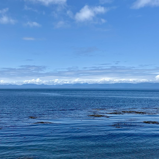
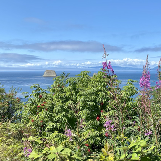
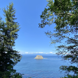
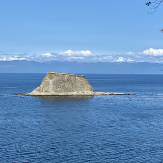
On the way back from my foiled drive to Cape Flattery.


Comments